How Geographers Read the World
Geographers ask where things are, why they are there, how places connect, and why the same place matters differently to different people.
ATLAS LIVE
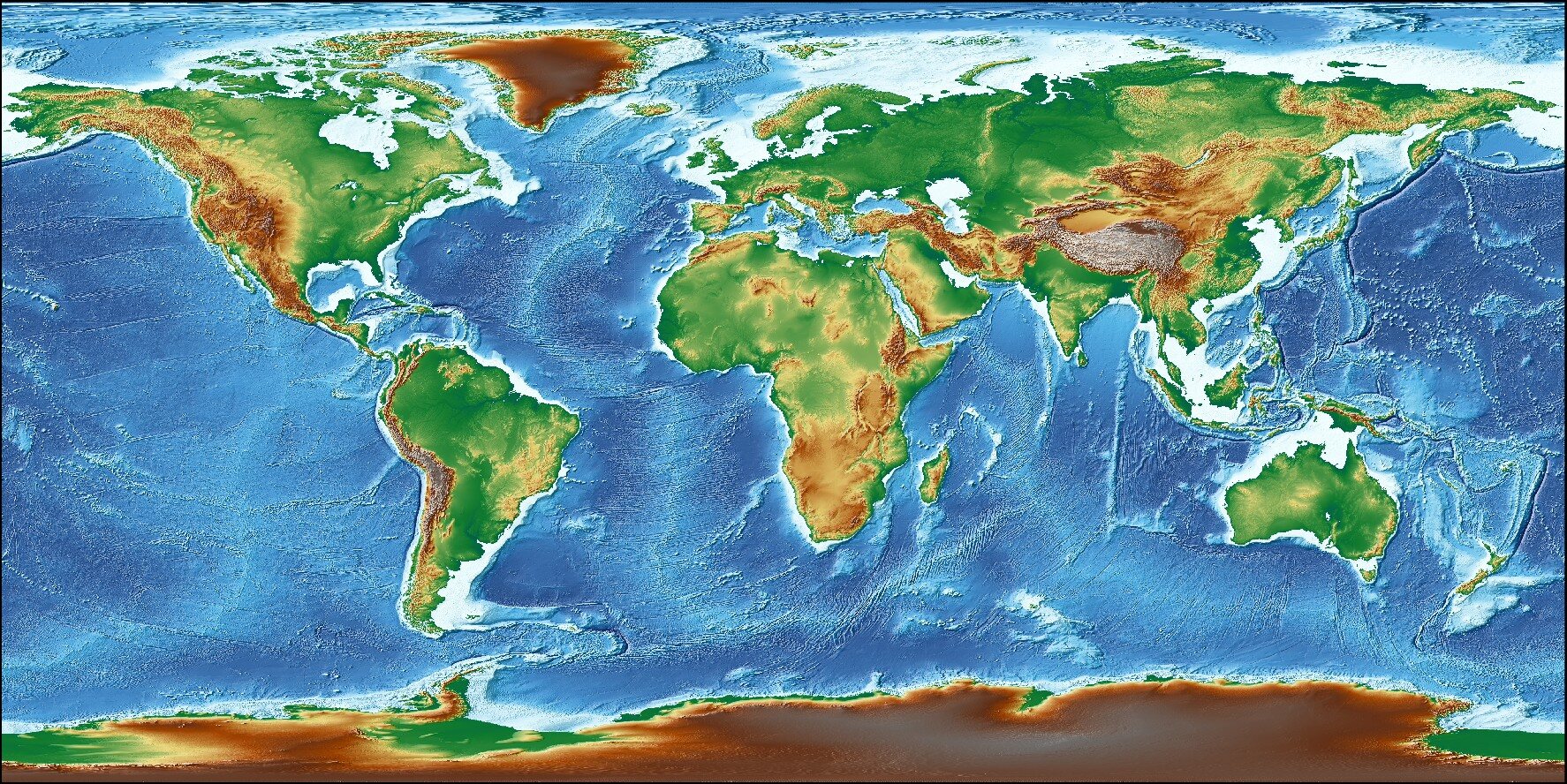
Continents, ocean basins, mountain belts, and plains remain the opening evidence.
OPEN NOAA RELIEF SOURCE
Geographers ask where things are, why they are there, how places connect, and why the same place matters differently to different people.
Earth’s surface is shaped by energy from inside the planet and forces acting at the surface. Landforms are snapshots in processes that can last seconds or millions of years.
Water moves through atmosphere, land, living things, rivers, groundwater, lakes, and oceans. A change upstream can become someone else’s problem downstream.
Climate patterns emerge from latitude, circulation, water, elevation, and landforms. Those patterns shape ecosystems, while human-driven climate change is shifting the conditions species and societies adapted to.
Natural resources are useful materials and flows from the environment. Their location, accessibility, renewability, and value shape where and how people develop them.
Mining, forestry, agriculture, fishing, water use, and energy production support modern life. Their geography determines methods, benefits, risks, and options for more sustainable practice.
Resource development distributes jobs, revenue, materials, risk, pollution, and power unevenly. Geographic perspective asks who decides, who benefits, who bears costs, and what evidence each claim uses.
Sustainability means meeting present needs while protecting the ecological and social systems future generations depend on. It requires limits, repair, fair decisions, and measurable action at many scales.